2019
Researcher(s):
Dian Yanuardi (Sajogyo Institute – Indonesia), Ganies Oktaviana (Sajogyo Institute – Indonesia), Syiqqil Arofat (Sajogyo Institute – Indonesia), Ahmad Jaetuloh (Sajogyo Institute – Indonesia), Thkbal Hijaba (JASIL – Mongolia), Prabindra Sakhya (The Manushya Foundation – Thailand), Pheap Sophea (NGO-F – Cambodia), Lorraine (AFA – Phillipines)
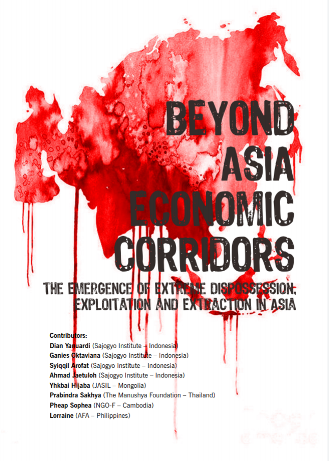
The map of the world is being redrawn. On a regional level, two neighbouring countries or more are put on a drawing board. The, mega-investments on infrastructures projects, indutrial economic zones, extractive economic activities and new metropolitan areas are planned, located and built.
On national level, two or more districts, provinces, or even islands are integrated into a new map and are called with a name: as the center of commodity production, as the distribution hubs, the export and industrial zones, or the transit zones.
This is not something new. In 1998, Asia Development Bank introduces a new concept and was then well-known as ‘Economic Corridor’ (Isono, 2010). Since then, it has been practically developed around the globe.
Click here to download.


